
Navigate the River Barrow
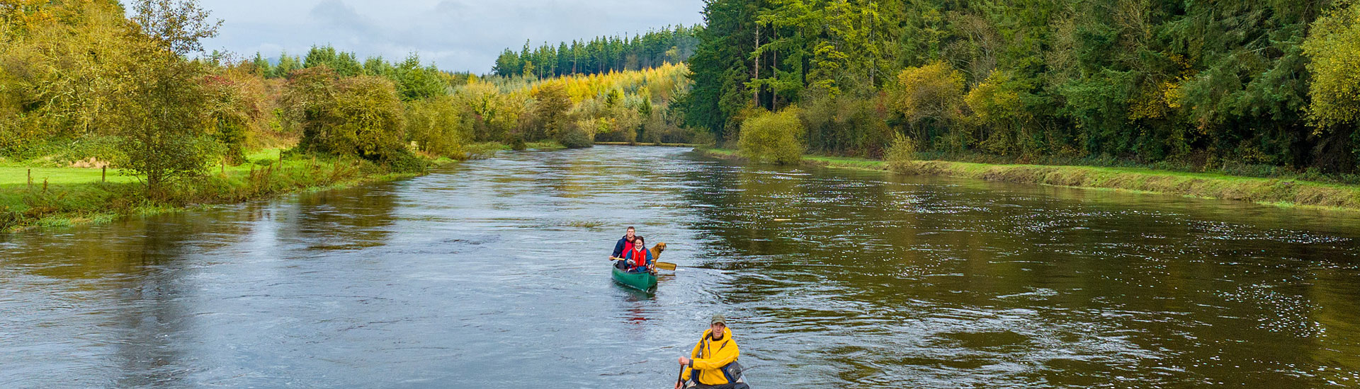
These maps are your guide to a fantastic canoeing adventure down the majestic River Barrow, Ireland's longest waterway. Complete with distance guide and number of locks from point to point making planning easy for you. Trace your route, identify points of interest, and plan your picnic or camping stops using the information provided. Remember, safety is paramount. Be sure to check river conditions before setting off. Enjoy the journey!
Map Key
 Hills
Hills Castle
 Large Town
 Small Town
 Village
 Camp
Camp Church / Religious Site
 Lock
Lock

| Location | Distance | Location | Distance |
|---|---|---|---|
| Monasterevin To Athy |
23km(Average time 6hrs), (NO Locks) |
Athy To Carlow |
19km(Average time 5hrs), (5 Locks) |
| Carlow To Leighlinbridge |
10km(Average time 3hrs), (3 Locks) |
Leighlinbridge To Carlow |
5km(Average time 2hrs), (1 Locks) |
| Bagenalstown To Goresbridge |
10km(Average time 4hrs), (4 Locks) |
Goresbridge To Borris |
7km(Average time 3hrs), (4 Locks) |
| Borris To Graiguennamanagh |
10km(Average time 2.5hrs), (4 Locks) |
Graiguennamanagh To St. Mullins |
7km(Average time 3hrs), (4 Locks) |
| St. Mullins To New Ross |
19km(Average time 4hrs), (0 Locks) |
This section is tidal you must catch the tide going out. Look up tides on : easytide.com
Manage Consent
Functional Always active
The technical storage or access is strictly necessary for the legitimate purpose of enabling the use of a specific service explicitly requested by the subscriber or user, or for the sole purpose of carrying out the transmission of a communication over an electronic communications network.
Preferences
The technical storage or access is necessary for the legitimate purpose of storing preferences that are not requested by the subscriber or user.
Statistics
The technical storage or access that is used exclusively for statistical purposes.
The technical storage or access that is used exclusively for anonymous statistical purposes. Without a subpoena, voluntary compliance on the part of your Internet Service Provider, or additional records from a third party, information stored or retrieved for this purpose alone cannot usually be used to identify you.
Marketing
The technical storage or access is required to create user profiles to send advertising, or to track the user on a website or across several websites for similar marketing purposes.